
Vector at the dock in Cape Vincent at sunset. NYDEC research vessel Seth Green at left; sailboat tied to breakwater at right.
Sunday evening we tendered back into town for what we thought would be our final meal in Clayton, and we got a nice table on the patio at the Hops Spot restaurant in the historic Johnston House. We had just ordered a beer for Louise and a sample taste for myself (I'm picky about beer), and Louise was headed inside to wash up, when I heard a loud bang and looked up to see a shower of sparks from across the street.
A transformer on a power pole had blown, and the wires were actually on fire. I jumped up to call 911; people on the street were running for cover. Our excitement for the day, but, sadly, that transformer powered the cooking appliances in the restaurant, which promptly declared themselves done for the evening. Their cash registers were still working so they charged us for the beer (I have a Yelp review to cover that), so we finished it between the two of us before heading out in search of an alternative.

Passing the Tibbetts Point lighthouse this morning. The light station is now a hostel. This is really a point, on the mainland; distant land at right is Grenadier Island.
With several buildings without power on that block, we walked across town to the fancy 1000 Islands Harbor Hotel and ate on the patio in their Seaway Grille. It was a lovely river view and the food was good but it was close to double the price of the other joints in town.
In the morning we weighed anchor to head over to the pumpout dock. Well, we tried to weigh anchor, anyway, but what we actually weighed was the anchor, a mooring chain, and two large whitewall tires. The anchor at first appeared to be wedged on the bottom; after waiting for two little girls learning to sail on an Opti to get out from behind us, I went Astern Full, which probably pulled the chain and tires out from under a layer of silt. I assume one end of the chain was anchored to the bottom.

Jimmy Hoffa's whitewalls.
Louise dropped the anchor to the bottom and back three times trying to get it free; each time it came up hooked to a different part of the mess, including right inside one of the tires. Ultimately we threaded an old line through the loop of chain, secured it on deck, lowered the anchor until it was free, then let go the standing end of the line to drop the chain to the bottom. In all it took us about a half hour to get free.
The pumpout dock is on the other side of the peninsula, ironically right in front of the fancy hotel. There was water on the dock so we filled our tank as well, and I found recycling barrels where we rid ourselves of two weeks of accumulated recyclables. Soon we were off the dock and headed across the river to Grindstone Island, less than two miles away.
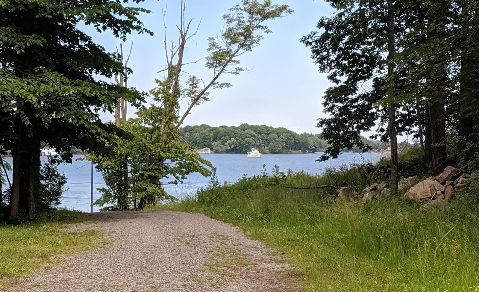
Vector in Aunt Janes Bay, as seen from a driveway on Grindstone Island.
I had honestly thought we were done with the Thousand Islands when we returned to Clayton, but the proprietor of the Ace Hardware had suggested this place, which was not in our guide as having a public landing. We dropped the hook close to shore in Aunt Janes Bay (map), near the community of Upper Town Landing where there is, as you might expect, a landing. In this case it is a large ramp into the water for offloading vehicles and other cargo, with a pair of fingers pier on either side for small boats.
We tendered ashore at the landing and walked a half mile or so up Cross Island Road. The island is technically in the town of Clayton, who maintains the dirt roads and the ramp. A small parking area near the landing is full of islanders' cars, and maintenance trucks belonging to the town, the phone company, and the like. The only access to the island is by boat. It was really like stepping into another time.

Along the road at the end of a driveway we passed a discarded water heater, on top of which was a rock. When I looked at the rock I realized someone had painted a boat on it, complete with helm and ensign, but it was upside-down.
All we could do was walk along the roads and take it in. The old one-room schoolhouse and the lone business open to the public, a winery with limited hours, were both too far to walk. There are no stores, gas stations, restaurants, phone booths, or much of anything else on the island. A NY state park with paddlecraft access is at one corner of the island, and we gather that's how visitors to the winery normally arrive.
On our way back to the tender we spotted the Seaway Supplier headed for the landing, and we stopped to watch her land and unload. This 1954 US Army landing craft, one of two operating here in the islands, is how cars and trucks, including contractors, fuel deliveries, construction equipment, etc., are transported to any of the islands in the region. This article in Professional Mariner is an interesting write-up on the Seaway Supplier and her role in the area.

Seaway Supplier about to unload.
We watched as she disgorged a lone pickup truck, loaded with supplies, and its elderly driver, clearly a seasonal resident of the island. We spent a few minutes chatting with the crew. As we were shoving off from the dock, a Verizon bucket truck arrived to be loaded for the return trip. Seaway Supplier, née LCM-8010, was built just a short walk away from where we had Vector painted, in New Orleans.

Once in the Army, always in the Army. I snapped this shot for my in-laws the colonels.
We had planned to have a quiet dinner aboard in this lovely bay, but we were driven off the boat by the smell of natural fertilizer. There is still some agriculture on the island (including the vineyard), and I've been noticing dump trucks barging across from Clayton, so we suspect it was freshly spread. The smell permeated the boat and made it very unappealing to cook or eat aboard. We briefly considered weighing anchor and moving to another spot.
Instead we simply tendered the 1.6 miles back across to Clayton, passing Calumet Island close aboard. On a Monday night several places were closed, and we had a casual meal at the Channelside again. By the time we arrived back in Aunt Janes Bay, the wind had shifted and the smell was gone, so we had a blissfully odorless night.

Vector at the dock at Cape Vincent this morning.
Clayton launched their fireworks from Calumet Island last night, and that spot would have been perfect to catch it all. But we wanted to make the lake crossing today in this flat calm, and I wanted to make one last stop before leaving the river, at Cape Vincent near Tibbetts Point, so we weighed anchor yesterday morning to continue another dozen miles upriver. I am happy to report that this time we did not bring up Jimmy Hoffa's whitewalls.
When we passed Cape Vincent in the other direction we observed that most of the docks were underwater and even the breakwater was awash, so we left Grindstone early in case we needed to just press on back to Hendersons Bay. But the lake is down a few inches since then, and when we pulled in the breakwater was a foot proud of the surface. The breakwater here is actually a vertical concrete bulkhead with mooring bollards, and that was a docking option for us, necessitating a tender ride ashore.
The concrete docks at the Department of Environmental Conservation (DEC), which would be our first choice for docking, were just awash, so no way to fender from them. And the village dock was still a few inches underwater. But the DEC has floating docks with a large T-head, and finding no contrary signs, we slid in and tied up (map). Only after we were tied up and ashore did I find the posted rules, which restrict the T-head for fishing use (that would explain the railings). I talked to a few of the DEC guys and they said it was probably fine since it was the only game in town.

Park rules. Oops. These were inside the rest room and I'd not have seen them if I didn't use it.
While the docks were easily usable, the ramp ended under five inches of water on the bulkhead, and we needed our Wellies to get ashore. We carried our shoes, then left the boots under a picnic table in the little park. The DEC provides restrooms and showers here, and there is a nice gazebo which got some local use while we were here. I walked the whole town, stopping at the Wolfe Island Ferry landing, the museum, the visitor center, and hitting the grocery store to replenish the beer on my way back.

A little wet on the quay. Century-old mill on the right is now the DEC. Our private moat kept the dock free of fishermen.
Later we walked back into town for dinner at the 125-year-old Roxy Hotel. On the eve of Independence Day the place was packed, and while many locals here are seasonal, clearly we were the only interlopers in the joint. We guessed that many having dinner would head out to Clayton for the fireworks afterward. Dinner was excellent, although we were over-served and each brought half our meal home.

The front desk at the Roxy Hotel.
We returned to Vector to find a small cruising sailboat tied to the breakwater, her crew ashore in a dinghy. We'll try to get the word out that the town is open for cruisers if they can tie to the breakwater and dinghy to the floating docks. It really was a lovely stop, with a small-town feel but enough services to make it worthwhile.
I was able to see the Clayton fireworks from the flybridge. Even though they were a dozen miles away they were quite clear, and I only missed the really low ones. It was odd hearing them a full minute later. This morning we dropped lines a little before 9am; we had left our Wellies in the saloon in case we wanted to walk to breakfast, but we still felt a little full from dinner. We motored out of the harbor just as a giant cargo ship was boarding her pilot, and turned upriver for the lake.
Blanket Island, on yesterday's cruise. The trees are dead, but hundreds of birds have built nests here.
Tonight we'll be in Oswego. Not because we wanted a return visit, but because it made for a nice six-hour cruise across the lake, whereas the next closest spot, Fair Haven, would have been eight hours. We also need to drag our feet a little, because we want to be in Sodus Bay on Monday morning, to have the Honda dealer there take a look at our outboard, which is having idle problems.
The free dock we used in Oswego last time is past a low bridge, and it's not really worth the effort to put the mast down. Instead we will anchor in the harbor, and tender ashore if needed. Tomorrow we will continue west to Little Sodus Bay and Fair Haven.

No comments:
Post a Comment
Share your comments on this post! We currently allow anyone to comment without registering. If you choose to use the "anonymous" option, please add your name or nickname to the bottom of your comment, within the main comment box. Getting feedback signed simply "anonymous" is kind of like having strangers shout things at us on the street: a bit disconcerting. Thanks!