We are under way downbound in the St. Lawrence River. Or maybe it's the Gulf of St. Lawrence; I'm not really sure what is considered the dividing line or the mouth of the river, which has been widening like a funnel since we left the Saguenay. The IHO says it is still ahead of us, while Fisheries and Oceans Canada says it is behind us.
After last I posted here, on a relatively calm Saguenay, the winds picked up throughout the afternoon, with the river getting progressively choppier. By the time we reached our chosen anchorage at l'Anse de Roche, it was blowing 25 knots, gusting higher, and there were two foot seas and whitecaps, owing to a dozen miles of fetch to the west. Nevertheless, we wrestled Vector into position and set the hook, in the hopes things would improve by dinner time.
 |
| Minke whale surfacing in Tadoussac Bay. We saw his face and underbelly, too, but I was not fast enough on the draw |
We did not stay long. Both the wind and the current were trying to drive us to a rocky lee shore, and even though it was less than a quarter mile to the harbor, we could see that there was no way we were going to get the dinghy down and into the harbor safely in these conditions. When the wind continued to build, rather than abate per the forecast, we weighed anchor and continued on.
We could simply have driven a mile across the river to the more protected l'Anse de Saint-Étienne, but we were looking forward to dinner ashore, and so instead we just continued another hour and a half downriver to Tadoussac, dropping the hook in 30 knot winds just a hundred feet or so from where we started our Saguenay cruise (map). By this time it was almost dinner time, and we splashed the tender and bashed our way ashore to the Pick Up Grillé for dinner. A soft-serve from Pause Bonbons and a stroll through the grounds of the Marine Mammal Center rounded out the evening.
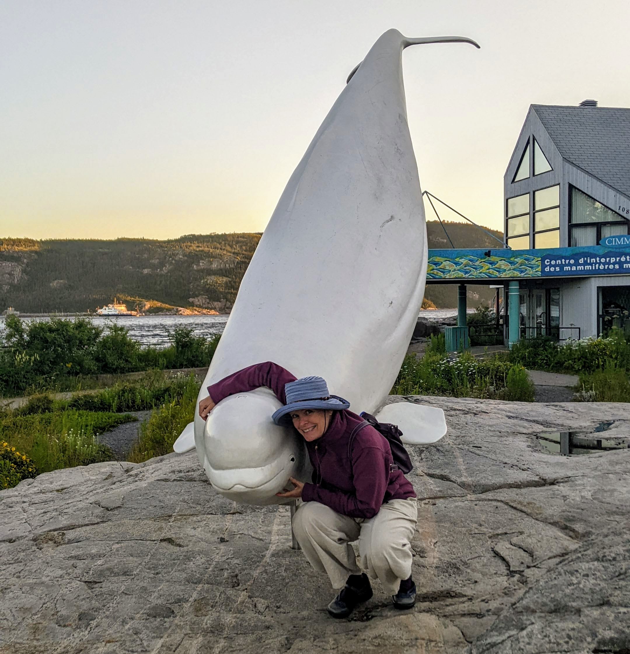 |
| Louise poses with one of the beluga sculptures in front of the marine mammal center. |
We had plans to weigh anchor on the turn of the tide in the morning, and we awoke to a calm harbor. But as we were enjoying our coffee, we found ourselves between at least two minke whales who were feeding in the harbor. What a treat! We sat on the aft deck enjoying their company for perhaps a half hour or so; at one point one surfaced just 20' or so from where we stood.
Once both whales had moved well beyond the 200 meters of mandatory distance, we started the engine and weighed anchor. We were well into the ebb by now and went whizzing out of the river at over ten knots, making turns for just six. We passed buoys making enormous wakes on our way to the main channel. Where the confluence of currents causes an upwelling, we encountered a large group of seals feeding. I could not tell if there were whales among them, so I took it out of gear until we were well past the area.
 |
| Here he is just 20' or so away. The paddleboarder had a great morning. |
Immediately thereafter we joined the main channel, and our speed dropped in short order to just over six knots. It would again build slowly throughout the rest of the day. The hydrology of this region is incredibly complex. We settled in for a relaxed cruise in glass calm conditions, angling across the river to the town of Rimouski, where we thought we might get ashore. Along the way we were overtaken by the tug Ocean Aqua, whom we had passed upriver on the Saguenay, pulling the same two barges, now empty.
A mid-day check of the forecast suggested that the anchorage off Rimouski might not be a good choice, with forecast heavy SW wind and possibly choppy seas, and so instead we opted to make it a short day and set our sights on a very protected anchorage in another provincial park, the Parc national du Bic. The park brochure indicated that a part of the cove we were eyeing was environmentally sensitive and off-limits to navigation, so we drew a line on our chart to keep to the rules.
 |
| The wake being made by this stationary buoy speaks to the nearly five knots of current. |
We had the hook down by 2:45 in l'Anse Orignal (map), dropping just outside the restricted zone. When we arrived there were already four sailboats in the cove, and by nightfall that number had climbed to 11, every one of which was inside the purported restricted area. I suppose the Quebecois knew there was no enforcement. It was a lovely and picturesque cove (which, nevertheless, my phone could not capture), and we had a nice dinner aboard.
Either the forecast heavy winds never materialized, or else the hilly terrain of the cove shielded us entirely, but we had a very calm night with only some light winds. We awoke to light fog and drizzle, and so we weighed anchor after our first cup of coffee and got under way.
 |
| Another speedy buoy. In the distance is the Prince Shoal light, nicknamed "the Top," with an interesting history. |
As we passed Rimouski we saw a search and rescue boat making its way out of the harbor to tow in a sailboat that, we assume, had engine trouble. Shortly afterward we came upon a sailing race, and I had to steer around the back of the pack. Cold, rainy, foggy, and very light wind seems to me like an unenjoyable day for a sail, but there were at least a dozen boats out with crews bundled up in their foulies. On shore I could see the submarine Onondaga at the maritime history museum.
Starting from the park rather than Rimouski made for a long day to the next stop, the commercial harbor at Matane. Matane also has a pleasure craft marina, which is in a basin a short ways up a river, but neither the basin nor the river has enough depth for us at low tide. We were hoping for a spot at the fishboat dock in the harbor, where one can tie up overnight for $35, but there was only perhaps 25' of dock left when we arrived.
 |
| These seals surfaced right in front of us. |
We heard it was also possible to anchor in the harbor, and so I called the harbormaster's office for permission. I was prepared with enough French to ask for what we wanted, but no matter how hard I tried, I could not understand the answers. My request for him to speak more slowly and simply did not improve things, and after a few minutes of trying, we gave up.
At this point I was sorry I had called. There is an old saw about it sometimes being easier to ask forgiveness than permission; had we just anchored, we likely would have been undisturbed for the night. Having asked, I had to admit the possibility that what he tried to tell me was "no you can not" (even though "no" was not ever one of the words he used).
 |
| About half of the ships at anchor on our way to Parc du Bic. River is flat calm. |
Instead we fell back on Plan B, which was to pull outside the harbor and drop the hook east of the east breakwall (map), where we would have protection from southwesterly wind and waves. Admittedly the view was also better here, where we could see the beach and some of the town and not just port infrastructure and fish plants. I'm sorry that, while we were inside the port, I did not snap a photo of the enormous railroad ferry that takes train cars across the river, a piece of infrastructure we no longer have in the US.
It was a comfortable and pleasant spot for a few hours, and after I grilled a steak we had dinner on the aft deck for the first time in quite a while. After dinner our entertainment was watching the behemoth passenger and vehicle ferry F. A. Gauthier pull into the harbor, spin around, and back into her berth after crossing from Baie Comeau.
By the time the ferry was finished tying up, we had swung around to parallel the shore, and a swell was curling around the end of the breakwaters that rolled us the rest of the evening and all night long. We were still rolling this morning when we got up, and so we weighed anchor after our first coffee and got back under way. Today should be a somewhat shorter day, ending at Saint-Anne-des-Monts, where there is a small craft harbor. It's unclear whether we'll fit in the harbor or if we will again have to anchor east of the breakwall; I am hoping the hydrology of this part of the river does not impart the sort of swell we had last night.
 |
| The Matane ferry terminal as seen from outside the harbor. I'm sorry I missed capturing the ferry, too. |
Since departing Parc du Bic, we've been running about a mile or so off the south shore of the river. Every few miles there is a town in the lowlands along the shoreline, always with a large church and steeple. Most of the towns have no dock or harbor of their own. Rising into the hills behind the towns have been large swaths of agriculture -- cultivated fields accompanied by barns and silos. Periodically a wind farm comprising a dozen or so turbines appears, harvesting the incessant SW wind.
I understand the scenery is much more striking along the north shore. A boat about a week ahead of us made some stops there and it is quite beautiful, so we considered going that route, and possibly making a stop at Anticosti Island on our way back to this shore. But it adds a full day or more to the transit, and another $150 or so in fuel. More importantly, it puts us two full open-water crossings away from Gaspé, opening the possibility that we will have to hunker down for weather for an unknown number of days.
That can happen here, too, but with prevailing southwesterlies and the protection of the shoreline it is less likely to waylay us. In the end, we decided that the additional scenery (and bragging rights) did not justify the extra miles, time, or risk, and we are instead following the south shore the entire length of the Gaspé Peninsula. We will hit our northernmost point within the next couple of days.
No comments:
Post a Comment
Share your comments on this post! We currently allow anyone to comment without registering. If you choose to use the "anonymous" option, please add your name or nickname to the bottom of your comment, within the main comment box. Getting feedback signed simply "anonymous" is kind of like having strangers shout things at us on the street: a bit disconcerting. Thanks!