
Our incredibly calm passage to Conception Thursday. The ocean is so flat you can see the clouds reflected. That's Long Island in the distance.
A short while ago we crossed the Tropic of Cancer and so we are finally officially in the tropics. I'm pretty sure this is Vector's first foray, having stopped just short, in Georgetown, on the last skipper's watch. As I type, Holland America's Nieuw Amsterdam is rapidly gaining on us and will pass us about two miles off our port side, her passengers also celebrating their arrival in the tropics.

Vector and Maerin at Conception Island.
We had a lovely three days at Conception. We got within two miles of the anchorage before the last of our cell signal faded, not really to be seen again until just a few minutes ago. By leaving my phone on the flybridge, I could get text email daily as the phone would briefly pick up enough 2g signal to retrieve a message or two. That let us get the daily marine forecasts without having to fire up the sat phone.

The ocean side of the island is littered with plastic that washed ashore. At one point I found a doll that may well have come from the El Faro sinking.
Maerin left Georgetown 40 minutes ahead of us, but made a last-minute detour before arriving, in hopes of landing a fish for dinner by cruising outside the park boundary. No such luck, though, and they pulled into the anchorage just a few minute ahead of us. One megayacht and a half dozen sailboats were already anchored. We dropped the hook in 12' between some coral and the beach (map).
We were still in the middle of launching the dinghy when one of the sailboaters zipped by on his tender announcing that there would be a gathering for cocktails on the beach at 4pm. We agreed to wave off our plan for sundowners on Vector with Barb and Steve in favor of going ashore for the gathering.

Party on the beach.
We had a nice time on the beach and enjoyed meeting Maryvonne and Shane from Gem, Josh and Lea from Peacemaker, Dave and Peggy from Cattitude (we had briefly met Dave in Charleston on his way to effect repairs from a lightning strike), Mary and Pete from Last Call, Robin from Endangered Species, Isabelle from Wasabi, and several more names and boats that I can't recall because I exhausted my name capacity by the second beer. Also, I may have mixed up some of the names above, but you get the idea.

The dogs all got along and relaxed on the beach during cocktail hour.
Friday we joined Barb and Steve on a dinghy excursion up the creek to the middle of the island. The creek is only navigable near high tide, and to avoid getting trapped we left considerably ahead of that. We made it about half way before we ran out of depth, so we anchored the dinghy and rode instead with Steve and Barb, whose tender draws a few inches less. The creek is a turtle haven and we saw quite a few large examples, all of whom defied my efforts to snap a photo.
Turtle swimming. Sound is the dinghy motor; we were under way.
Later in the afternoon I joined Barb and Steve for snorkeling while Louise remained on Vector. This was my first real chance to try out my new waterproof camera; sadly I found it very difficult to see the screen while framing the shots. I more or less just had to point the camera in the general direction of what I was trying to shoot. We stopped at three different patch reefs before heading home.

I snapped this grouper checking me out.
I found the reefs here to be in very bad condition. They look to me to be suffering from coral bleaching, but I am by no means educated on the subject. At least one person I spoke with allowed that some damage was being done by illegal lobster fishing (the park itself is a no-take zone). Still, we saw quite a few fish and at least a few of my photos came out OK.

This photo of a handful of small fish clearly shows coral covered in white.
The four of us enjoyed cocktails and dinner aboard Vector, and I finished off the night with a movie on DVD. We are now out of coverage of DirecTV, which we lost before Georgetown, and the broadcast stations out of Georgetown, which include ABC, NBC, and CBS repeated from southeast Florida.
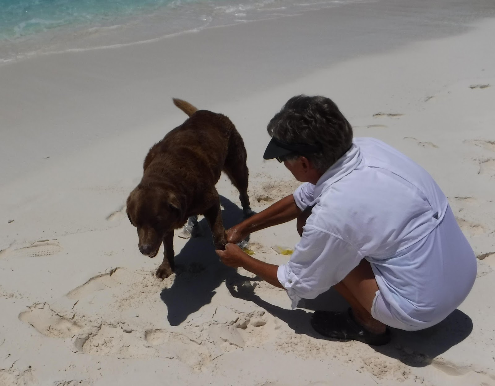
Molly gets her makeshift booties removed by mom.
Yesterday we rode with them to the northern neck of the island, where we walked the short trail across to the ocean-side beach (we anchored on the Sound side). Molly, their dog, had to wear little booties on the trail to keep the brambles off her paws. Conditions here are very different, with good surf on the beach, and numerous coral heads immediately offshore. We walked the beach all the way down to a small cliff, where I snapped a nice photo of the coral heads.

Ocean-side bay. From 20' up you can clearly see the coral dotting the bay.
In the afternoon all four of us went snorkeling, stopping at three different reefs, with more or less the same results as the previous day. In the evening we joined them aboard Maerin for a nice dinner followed by a long game of dominoes; it was a late night.

The rope used to scale the cliff, Batman-style.
The combination of walking, sun, swimming, beer, and a late night took its toll on Louise, who went to bed with a migraine. And so it was that we did not get a chance to discuss the weather, or the plan for the next few days, until coffee this morning.

Louise, Barb, Steve, and Molly in front of the small cliff. To the right the cliff has been eaten away by the surf, which is making a new cut through the island here.
As it turns out, we have excellent passage weather today and tomorrow, deteriorating on Tuesday. Starting Wednesday, we will likely be pinned down for a week, wherever we happen to be. Between here and the Turks & Caicos, there are really no all-weather ports. Clarence Town, where we'll be tonight, has mostly all-around protection if we pick our spot well and/or move around the harbor as needed. But there's not much there, although we should at least have Internet.

These tiny fish preferred to hang out in the shallow little channel being formed by the new cut.
After some quick math and some less quick discussion, we decided instead to make a run for it, stopping tonight in Clarence Town, then clearing out of the Bahamas when Customs opens in the morning, and weighing anchor directly for Providenciales in the Caicos, an overnight trip. The last-minute decision made for a late start, and we're having to run at 1650rpm to arrive in decent daylight, around 6pm, burning an extra gallon an hour.
If our weather window holds, that should put us in the anchorage there mid-day Tuesday, before things get too bad in the Atlantic. If we have any problem going the distance, there are two bail-out options in the Bahamas, but we'll have already cleared out, so all we could do is anchor with our Quarantine Flag flying, or try to clear back in.

I could not capture how incredibly blue this guy was. Coral is to the right, a stark contrast from the ubiquitous sand.
We'll make a final go/no-go decision in the morning after checking the weather. If we go, we'll be leaving the harbor around 10am or so. I expect to have Internet coverage tonight and for perhaps two hours after departure. After that we'll likely be off-line until we clear in to Turks & Caicos sometime Tuesday afternoon or evening. I will post status updates to Vector's Twitter stream until we are back in coverage.
No comments:
Post a Comment
Share your comments on this post! We currently allow anyone to comment without registering. If you choose to use the "anonymous" option, please add your name or nickname to the bottom of your comment, within the main comment box. Getting feedback signed simply "anonymous" is kind of like having strangers shout things at us on the street: a bit disconcerting. Thanks!